

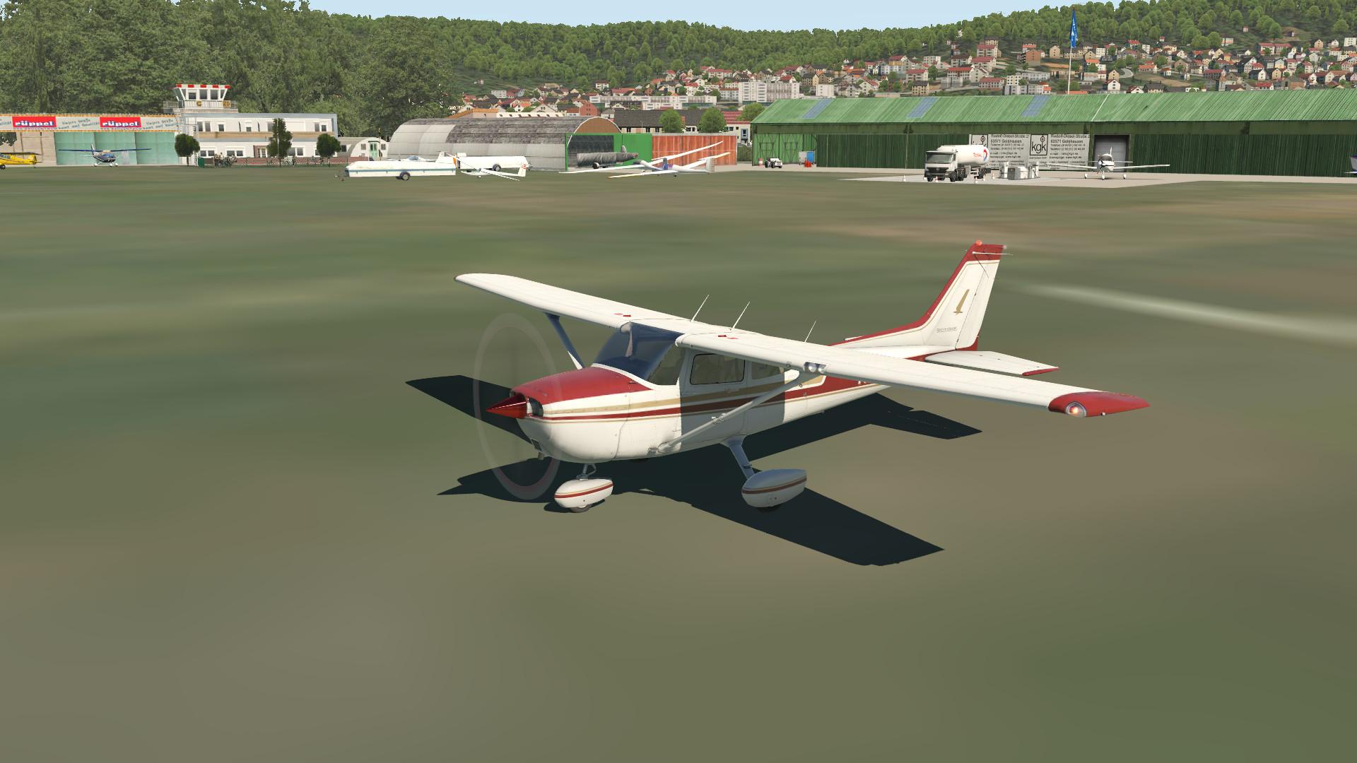
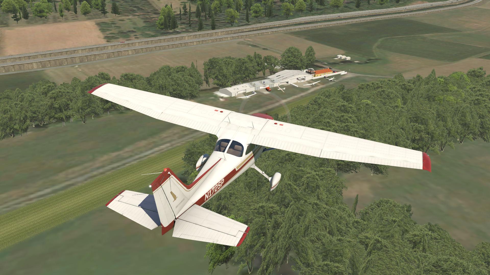
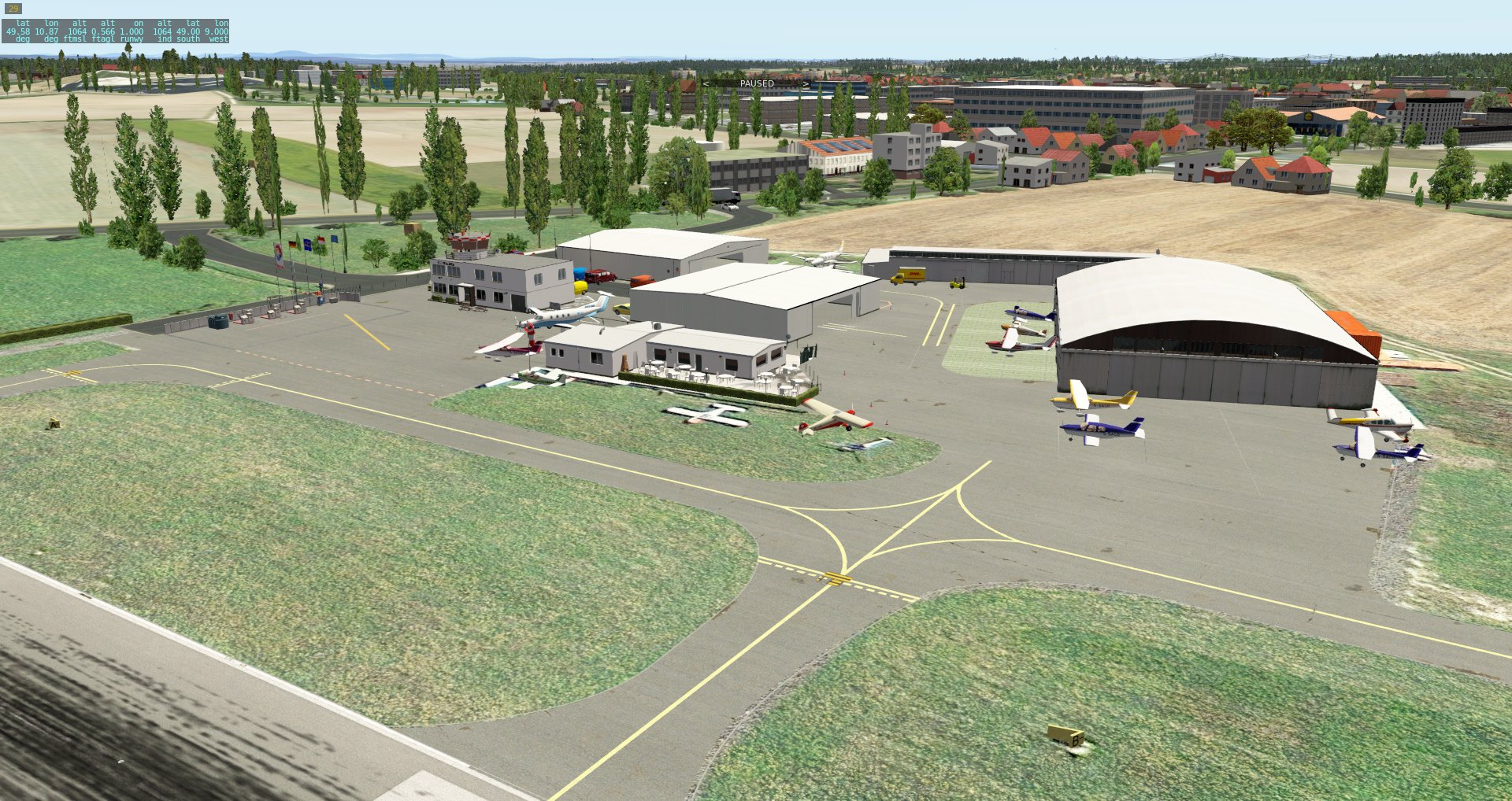
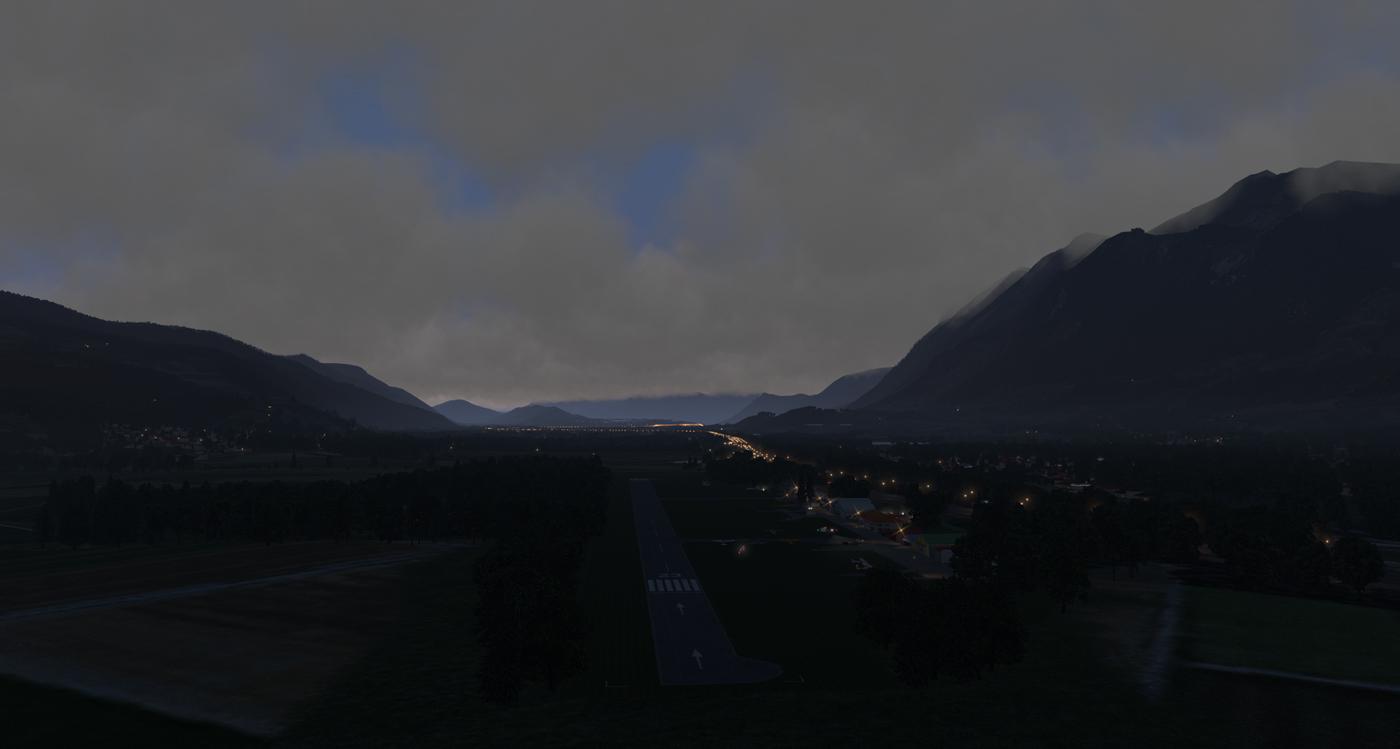
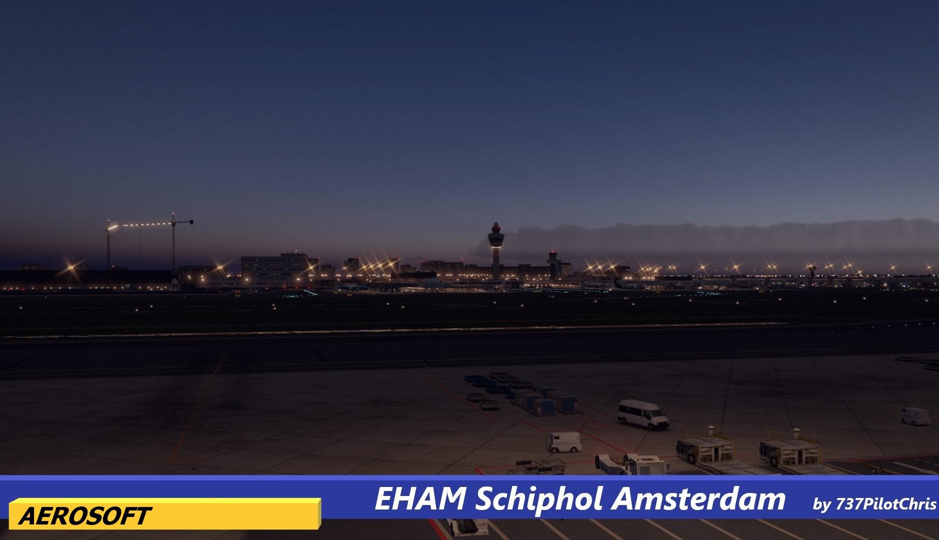
Scenery Package (DSF)
DSF means for Distribution Scenery Format.
More information about DSF X-Plane structure can be found at http://wiki.x-plane.com/Anatomy_of_the_X-Plane_Scenery_System.
70 files

Updated


.jpg.92c31845ee7fca6a5b806e6a7deb01c2.jpg)
.jpg.76e2fcc4a43ce59f87744f397f15e5ec.jpg)
.jpg.05dff696247bc08cd59d323f5526cb79.jpg)
.jpg.f12d102b10f65c494a4be5490c98d466.jpg)
.jpg.a9ec67710cfadbc8bb8cc68c0f6ca991.jpg)
.jpg.3a561242f0fe1b7fc6333428ca361418.jpg)
.jpg.6a3adad36f6b9d5d6444c83a253dcdf7.jpg)
.jpg.c2529803be53cc3776f69fa8d80924a4.jpg.dcc35df54fee6ce33dc7b06031c5946a.jpg)
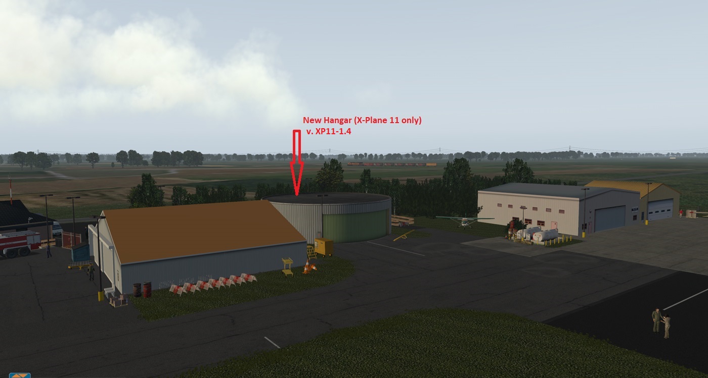
Updated

Updated

Announcements

-
Files
-
-
Download Statistics
-
Files5538
-
Comments10353
-
Reviews4841
-

