Skip to content

Scenery Package (DSF)


DSF means for Distribution Scenery Format.

More information about DSF X-Plane structure can be found at http://wiki.x-plane.com/Anatomy_of_the_X-Plane_Scenery_System.

71 files

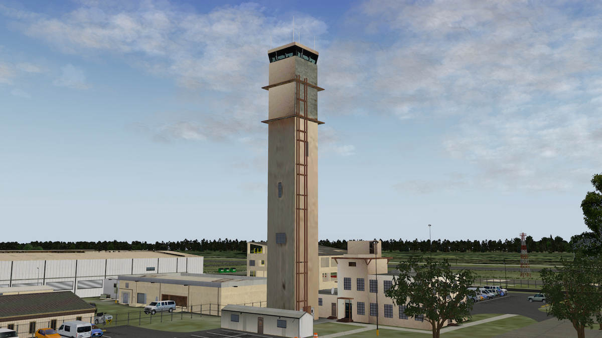
  1. Aerosoft is pleased to offer you, on behalf of Org developer "Aerospace" Telluride Regional Airport version 1.0.

    Telluride Regional Airport covers 542 acres and has one runway, 9/27, 6,911 by 100 feet (2,106 by 30 m). The runway is on a plateau and dips slightly in the center. It can be a challengingapproach for pilots. During winter months, about 20% of the scheduled commuter airline flights end up diverting to other airports because of abruptly adverse landing conditions. This is similar to other mountain airports like Sun Valley which have similar statistics. When flying to the Telluride Regional Airport, pilots must be aware of situations surrounding the airfield including high terrain exceeding 14,000 feet (4,300 m), as well as the airport's location on a plateau with a thousand-foot (300 m) drop to the San Miguel River below.

    In the year ending April 30, 2007 the airport had 26,709 aircraft operations, average 73 per day: 53% air taxi, 35% general aviation and 12% scheduled commercial. 42 aircraft were then based at this airport: 60% single-engine, 21% multi-engine, 7% jet, 2% helicopter and 10% glider.

    In the 1990s the airport had winter nonstop passenger flights to Los Angeles and Phoenix. SkyWest Airlines Embraer EMB-120s flew nonstop to Los Angeles as United Express while Mesa Airlines de Havilland Canada DHC-8s flew nonstop to Phoenix as US Airways Express. StatesWest Airlines Beechcraft 1900Cs flew nonstop to Laughlin, NV/Bullhead City, AZ continuing to Los Angeles. The only scheduled flights now are Great Lakes Airlines Beechcraft 1900Ds nonstop to Denver. The airport has never had scheduled airline jets, though business jets do land at Telluride (Courtesy of Wikipedia).


    Mostly accurate representation using available X-Plane and OpenSceneryX assets. Just unzip the included file into your Custom Scenery folder and enjoy!
    • 388 Downloads
  2. Aerosoft is pleased to offer you, on behalf of Org developer "Aerospace" Southwest Oregon Regional Airport version 1.2.

    Southwest Oregon Regional Airport (IATA: OTH, ICAO: KOTH, FAA LID: OTH), formerly North Bend Municipal Airport, is a public airport in North Bend, Coos County, which is on the Southern Oregon Coast. It is operated by the Coos County Airport District.
    The airport changed its name in April 2006 to avoid confusion with Bend, in central Oregon.

    It is the only commercial airport on the Oregon Coast and is served by "United Airlines" (Skywest) and SeaPort Airlines. Skywest flies to San Francisco International Airport (since July 2008) and ended its long-running service to Portland International Airport on February 16, 2012. In January 2012 SeaPort Airlines started daily flights to Portland. The airport was previously served by Horizon Air, which had linked North Bend to Portland International Airport since 1982. Horizon Air service ended October 11, 2008.

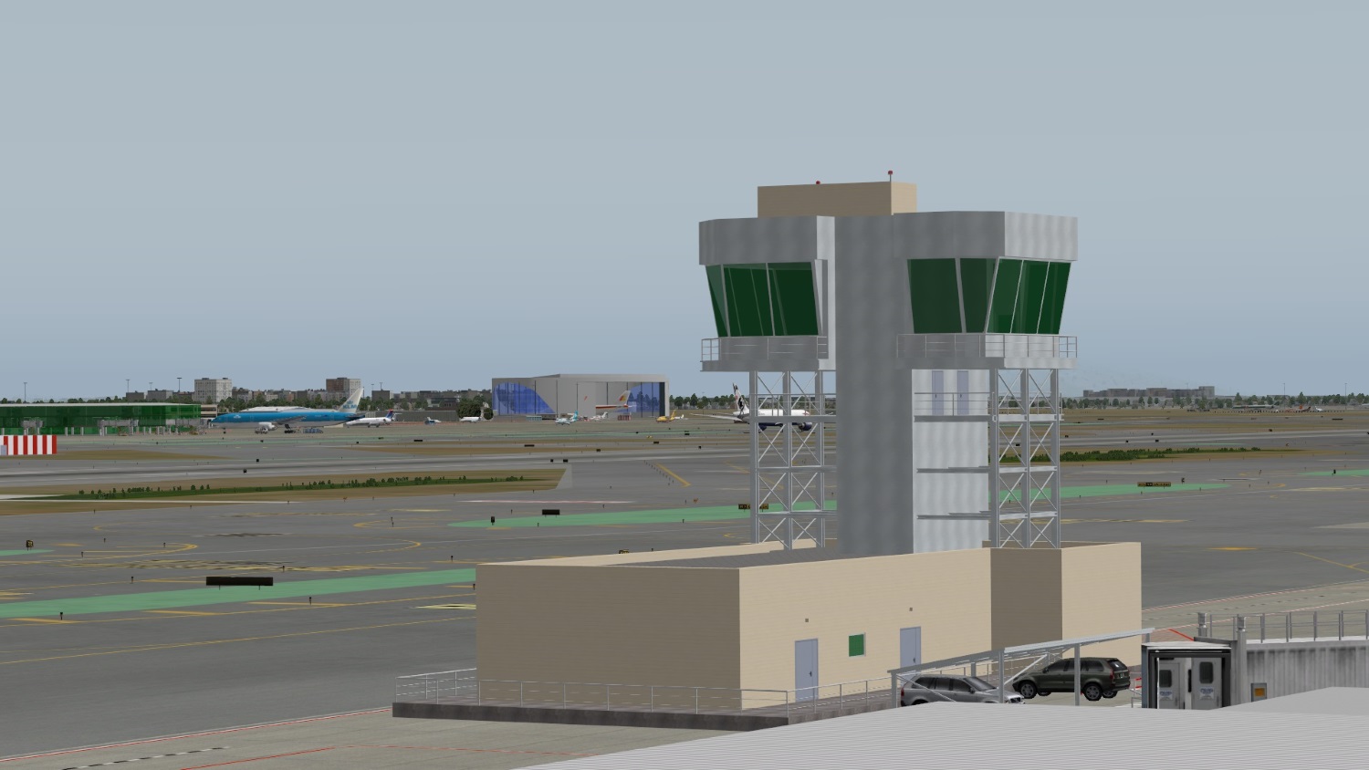
    The airport is seeing more private jets carrying golfers to Bandon Dunes Golf Resort, a 20 minute drive from the airport. The airport opened a new terminal in July 2008; in February 2009 a new Air Traffic Control Tower opened (Courtesy of Wikipedia).


    A WED rendition of the North Bend airport using both the X-Plane stock library and OpensceneryX assets. Just unzip into your Custom Scenery folder and enjoy! Remember, this scenery was tested in v10.31. Earlier versions of X-Plane may not support this scenery.

    Special Thanks to Chris K for working to solve a DECAL issue that introduced extraneous artefacts to the surrounding scenery!


    What's New in Version 1.2:
    - Added a Tower Viewpoint
    - Corrected an erroneous ground taxi sign
    - Included .dds textures for those using Texture Compression for better performance.
    • 231 Downloads
  3. Aerosoft is pleased to offer you, on behalf of Org developer "Aerospace" Orcas Island version 2.2.
    And therefore .... welcome to my updated Orcas Island scenery. Aerospace thought I'd resurrect the old file, attempt to add an Orthophoto underneath and tweak some of the layout. I also added some OpensceneryX objects to help fill in some of the empty parts.

    Orcas Island Airport (IATA: ESD, ICAO: KORS, FAA LID: ORS) is a public airport located 1 nautical mile (1.9 km; 1.2 mi) north of the central business district of Eastsound on Orcas Island in San Juan County, Washington, United States. Although many U.S. airports use the same three-letter location identifier for the FAA and IATA, this airport is assigned ORS by the FAA but has been assigned ESD from the IATA.
    Orcas Island Airport covers an area of 64 acres (26 ha) which contains one asphalt paved runway (16/34) measuring 2,900 x 60 ft (884 x 18 m). For the 12-month period ending December 31, 2005, the airport had 61,600 aircraft operations, an average of 168 per day: 69% general aviation, 20% air taxi and 11% scheduled commercial. There are 75 aircraft based at this airport: 96% single engine and 4% multi-engine.

    Just unzip into your X-Plane/Custom Scenery/ folder and enjoy!

    Note:
    There are night texture included for the ground, but I can't get them to show up on my system. Might be a 10.30 thing, but if I messed something up, then I'll upload a fix once I figure it out. Since it is tested in X-Plane 10.30. Not sure if it will work on earlier versions.

    What's New in Version 2.2:
    - Chris K fixed the night lighting on the .pol files
    - Added a Grass DECAL to enhance the close-up details
    - Added .dds files for the orthophotos (thanks again to Chris K)

    • 347 Downloads
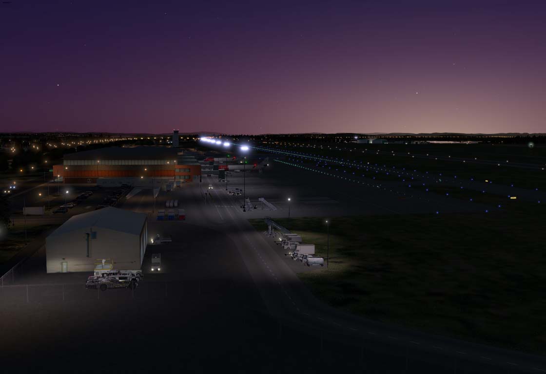
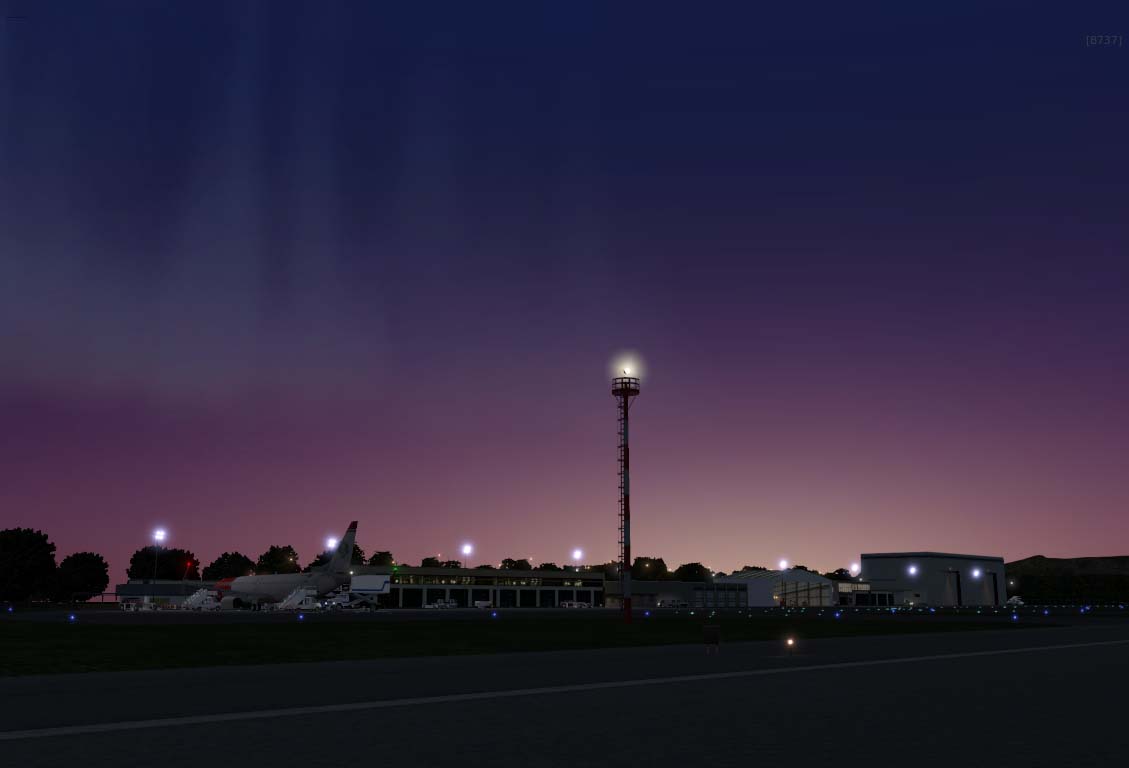
  4. ENRY Moss Airport Rygge (Norway).

    Aerosoft is pleased to offer you, on behalf of Org user "tdg" Moss Airport.

    Rygge (Norwegian: Moss lufthavn, Rygge; IATA: RYG[4], ICAO: ENRY) is an international airport serving Moss, Oslo and Eastern Norway. It is located in Rygge, 10 kilometres (6.2 mi) outside Moss and 60 kilometres (37 mi) outside Oslo. Both a regional airport for Østfold county as well as for low-cost airlines, it is owned and operated by the private company Rygge Sivile Lufthavn AS. The airport is co-located with Rygge Air Station, operated by the Royal Norwegian Air Force, who also own the land and runway. The control tower services (air traffic control) are operated by Avinor. In addition to charter flights, the airport is a base for Ryanair.

    The airport opened on 8 October 2007, but did not officially open until 14 February 2008, when regular scheduled services started. In March 2010, Ryanair established a base at the airport, and has moved most of its Oslo-bound flights from Sandefjord Airport, Torp. The airport has a capacity for 2 million passengers per year, but cannot reach this because of a concession limit of 21,000 annual air movements. The airport had 619,000 passengers in 2009. Rygge has an airport rail link, via a shuttle bus, at Rygge Station.

    Full taxiway and apron rebuild as it was on the wrong side of the runway, so do not use ATC taxi trafficking.


    NOTE:
    In case you have the old version, you must have re-downloaded and installed "The Handy Objects Library 2.6"

    Requires the following files:
    - AutoGate (http://marginal.org.uk/x-planescenery/AutoGate.zip)
    - OpensceneryX,
    - R_2library,
    - ruScenery,
    - FFlibrary,
    - The Handy objects library 2.6, ((http://forums.x-plane.org/index.php?app=downloads&showfile=24261))
    - RE_Library 1.4

    Although the airport is developed on a Windows 7 pc 64bit with X-Plane 10.32, it should also work on a Mac.

    Thanks to:
    - Einstein & FlybyGuy and others for the great looking objects and buildings.
    • 255 Downloads
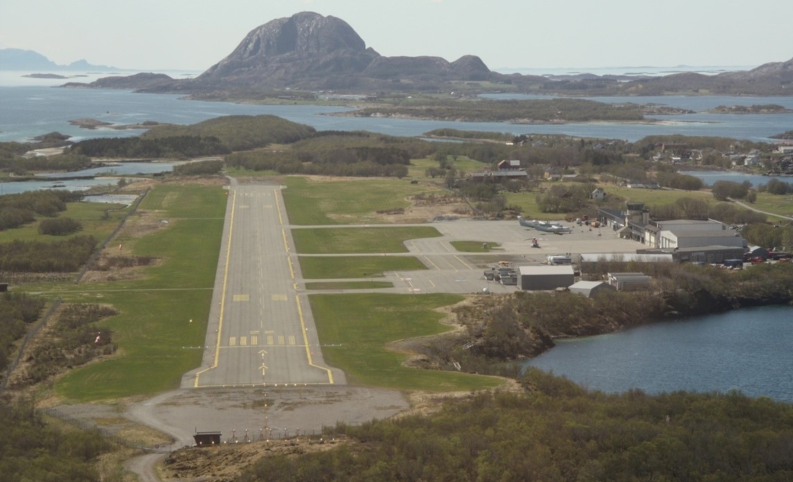
  5. ENBN Brønnøysund Regional Airport (Norway)

    Aerosoft is pleased to offer you, on behalf of Org user "tdg" Brønnøysund Airport.

    Brønnøy (Norwegian: Brønnøysund lufthavn, Brønnøy; IATA: BNN, ICAO: ENBN) is a regional airport located at the town of Brønnøysund, in the municipality of Brønnøy, Nordland county, Norway. The airport is owned and operated by the state-owned Avinor and serves the southern part of Helgeland. It has a 1,200-by-30-meter (3,937 ft × 98 ft) runway numbered 04–22[1][3] and is served by Widerøe, which operates their Bombardier Dash 8 aircraft to Oslo, Trondheim, Bodø, Bergen and other airports in Helgeland. The airport also serves offshore helicopter flights by CHC Helikopter Service to Norne and temporary oil rigs in the Norwegian Sea. In 2014, the airport served 117,471 passengers, making it the second-busiest regional airport in Norway, after Florø Airport.

    NOTE:
    In case you have the old version, you must have re-downloaded and installed "The Handy Objects Library 2.6"

    Requires the following files:
    - OpensceneryX,
    - R_2library,
    - ruScenery,
    - FFlibrary,
    - The Handy objects library 2.6,
    - RE_Library 1.4

    Although the airport is developed on a Windows 7 pc 64bit with X-Plane 10.32, it should also work on a Mac.

    Thanks to:
    - Einstein & FlybyGuy and others for the great looking objects and buildings.
    • 223 Downloads
  6. Aerosoft is pleased to offer you, on behalf of Org user "tdg" ENKB Kvernberget Airport.

    Kristiansund Airport, Kvernberget (Norwegian: Kristiansund lufthavn, Kvernberget; IATA: KSU[3], ICAO: ENKB) is an international airport serving Kristiansund, Norway. It is situated at Kvernberget on the island of Nordlandet and is the sole scheduled airport serving Nordmøre. The airport features a 2,390-meter (7,840 ft) runway aligned 07/25. In addition to scheduled services operated by Scandinavian Airlines and Widerøe, it serves offshore helicopter traffic to the Norwegian Sea operated by CHC Helikopter Service. Kvernberget handled 384,822 passengers in 2014.

    Kvernberget was the second airport to open in Møre og Romsdal, with flights commencing on 1 July 1970. Until 2004 the main portion of flights was provided by Braathens SAFE, which flew both coastal flights and to Oslo. The first helicopter terminal opened in 1982 and a new passenger terminal was completed in 1989. A second helicopter terminal opened in 1994. The runway was extended for the original 1,830 meters (6,000 ft) to the current length in 2012. A new terminal is under construction, due for completion in 2017.


    The scenery requires the following files:
    - AutoGate (http://marginal.org.uk/x-planescenery/AutoGate.zip)
    - OpensceneryX,
    - R_2library,
    - ruScenery,
    - FFlibrary, The Handy objects library 2.5, RE_Library 1.4

    Although the airport is developed on a Windows 7 pc 64bit with X-Plane 10.32, it should also work on a Mac.

    Thanks to:
    - Einstein & FlybyGuy and others for the great looking objects and buildings.

    • 203 Downloads
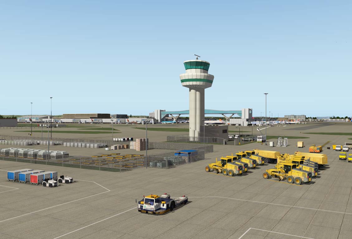
  7. EGKK Gatwick Airport.
    This was a time consuming build so I hope you all like it! Enjoy!

    Gatwick Airport (IATA: LGW, ICAO: EGKK) is 2.7 nautical miles (5.0 km; 3.1 mi) north of the centre of Crawley,[1] West Sussex, and 29.5 miles (47.5 km) south of Central London.[4] Also known as London Gatwick, it is London's second-largest international airport and the second-busiest (by total passenger traffic) in the United Kingdom (after Heathrow). Gatwick is Europe's leading airport for point-to-point flights and has the world's busiest single-use runway, with a maximum of 55 aircraft movements per hour. Its two terminals (North and South) cover an area of 98,000 m2 (1,050,000 sq ft) and 160,000 m2 (1,700,000 sq ft), respectively. In 2014, 38.1 million passengers passed through the airport, a 7.6 per cent increase on 2013.

    A very big to thanks to Einstein for building that stunning airbridge for me and others for the great looking objects and buildings. Cheers guys and keep up the good work.

    NOTE:
    In case you have the old version, you must have re-downloaded and installed "The Handy Objects Library 2.6"

    Requires the following files:
    - AutoGate (http://marginal.org.uk/x-planescenery/AutoGate.zip)
    - OpensceneryX,
    - R_2library,
    - ruScenery,
    - FFlibrary,
    - The Handy objects library 2.6, ((http://forums.x-plane.org/index.php?app=downloads&showfile=24261))
    - RE_Library 1.4

    Although the airport is developed on a Windows 7 pc 64bit with X-Plane 10.32, it should also work on a Mac.

    Thanks to:
    - Einstein & FlybyGuy and others for the great looking objects and buildings.
    • 1427 Downloads
  8. Brussels Airport (IATA: BRU, ICAO: EBBR) (also called Brussel Nationaal/Bruxelles-National/Brussel-Zaventem (Brussels National)) is an international airport 6 NM (11 km; 6.9 mi) northeast of Brussels, the capital of Belgium. In 2014, almost 22 million passengers arrived or departed at Brussels Airport, making it the 23rd busiest airport in Europe. It is located partially in Zaventem, partially in the Diegem area of Machelen, and partially in Steenokkerzeel, in the Flemish Region of Belgium. It is home to around 260 companies, together directly employing 20,000 people and serves as the home base for Brussels Airlines, Jetairfly and Thomas Cook Airlines Belgium.

    First:
    You must please save and remove "Aerosoft EBBR" folder from your custom scenery folder otherwise more than one airport will appear. Also remove my EBBR basic scenery if you have it installed

    Second:
    You must download "EBBR Brussels ground layout" by schiphol010 and add to your custom scenery folder. All credit to schiphol010 for all his hard work with his ground layout!


    NOTE:
    In case you have the old version, you must have re-downloaded and installed "The Handy Objects Library 2.6"

    Requires the following files:
    - AutoGate (http://marginal.org.uk/x-planescenery/AutoGate.zip)
    - OpensceneryX,
    - R_2library,
    - ruScenery,
    - FFlibrary,
    - The Handy objects library 2.6, ((http://forums.x-plane.org/index.php?app=downloads&showfile=24261))
    - RE_Library 1.4 and Xairportscenery

    Although the airport is developed on a Windows 7 pc 64bit with X-Plane 10.32, it should also work on a Mac.

    Thanks to:
    - Einstein & FlybyGuy and others for the great looking objects and buildings.
    • 898 Downloads
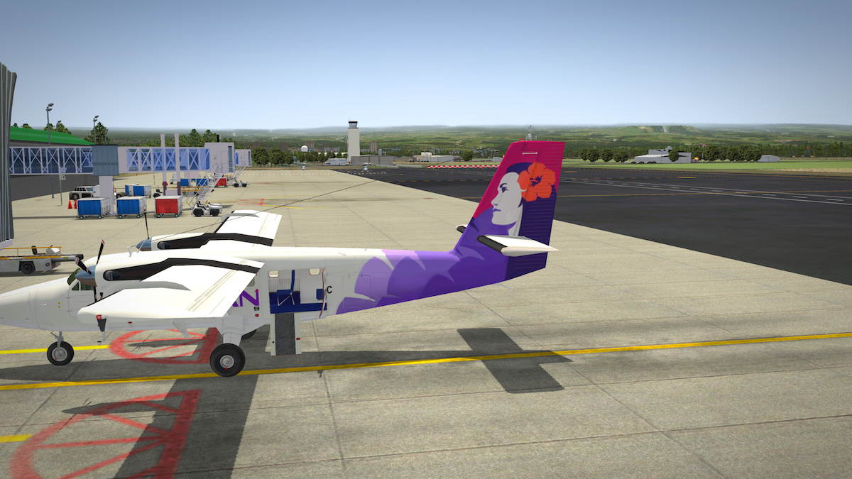
  9. Aerosoft is pleased to offer you, on behalf of Freddy De Pues from Fred-E.Net, Hilo International Airport (IATA: ITO, ICAO: PHTO), formerly General Lyman Field, is owned and operated by the Hawaiʻi state Department of Transportation. Located in Hilo, Hawaiʻi County, the airport encompasses 1,391 acres (563 ha) and is one of two major airports on Hawaiʻi Island and one of five major airports in the state. Hilo International Airport serves most of East Hawaiʻi, including the districts of Hilo and Puna, as well as portions of the districts of Hāmākua and Kaʻū. Most flights to the airport are from Honolulu International Airport. These flights are predominantly operated by Hawaiian Airlines and Aloha Air Cargo.

    Requirements OpenSceneryX II, RuScenery, Cami De Bellis Library

    Aknowledgments: OpenSceneryX II, Ben Supnik, Marc Leydecker Libraries, RuScenery, Cami De Bellis library

    Want to know more about it?
    Check out our comprehensive review.

    • 460 Downloads
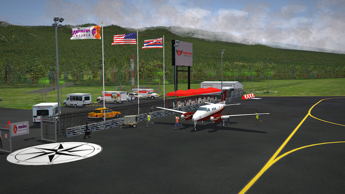
  10. Aerosoft is pleased to offer you, on behalf of Freddy De Pues from Fred-E.Net, Kahului Airport (IATA: OGG, ICAO: PHOG, FAA LID: OGG) is a regional airport in the state of Hawai'i, United States, located east of the Kahului CDP in Maui County on the island of Maui near Haleakala.[3] Most flights into Kahului Airport originate from Honolulu International Airport; the Honolulu–Kahului corridor is one of the busiest air routes in the US, ranking 13th in 2004 with 1,632,000 passengers.

    The airport code pays homage to aviation pioneer Bertram J. Hogg who worked for what is now Hawaiian Airlines flying aircraft ranging from eight-passenger Sikorsky S-38 amphibians to Douglas DC-3s and DC-9s into the late 1960s.


    Requirements OpenSceneryX II, RuScenery, Cami De Bellis Library


    Aknowledgments: OpenSceneryX II, Ben Supnik, Marc Leydecker Libraries, RuScenery, Cami De Bellis library


    Want to know more about it?
    Check out our comprehensive review.
    • 656 Downloads
  11. Aerosoft is pleased to offer you, on behalf of Freddy De Pues from Fred-E.Net, Honolulu International Airport (IATA: HNL, ICAO: PHNL, FAA LID: HNL) is the principal aviation gateway of the City & County of Honolulu and the State of Hawaii and is identified as one of the busiest airports in the United States, with traffic now exceeding 21 million passengers a year and rising. It is located in the Honolulu census-designated place three miles (5 km) northwest of Oahu's central business district. Main roads leading to the airport are Nimitz Highway and the Queen Liliuokalani Freeway of Interstate H-1.

    Honolulu International Airport serves as the principal hub of Hawaiian Airlines, the largest Hawaii-based airline. Hawaiian offers flights between the various airports of the Hawaiian Islands and also serves the continental United States, Australia, New Zealand, American Samoa, Tahiti, Japan, and South Korea. It is host to major United States and international airlines, with direct flights to American, Asian, and Pacific Rim destinations. In addition to serving most major western cities, and many smaller ones especially in California, recent announcements have revealed new routes on the East Coast to both Toronto and Washington-Dulles joining the already established routes to Atlanta, New York-JFK and Newark.

    Honolulu International Airport has three terminal buildings. A fleet of Chance RT-52 buses provide interterminal transportation between the ticket counters of all three terminals and between the concourses in the Interisland and Main terminals. These buses, known as "Wiki Wiki" buses (from the Hawaiian word for "quick"), are the namesake for the WikiWikiWeb, the first wiki. The largest airline at Honolulu airport is Hawaiian Airlines offering 13,365 seats per day, which represents a 45% market share.

    The No. 2 and No. 3 carriers are United and Japan Airlines (JAL) with 7.7% and 7.4% market share respectively. Traffic between Honolulu and the mainland United States is dominated by flights to and from Los Angeles and San Francisco.


    Requirements: OpenSceneryX II, RuScenery.

    Acknowledgements: OpenSceneryX II, Ben Supnik, Marc Leydecker Libraries, RuScenery


    Want to know more about it?
    Check out our comprehensive review.
    • 754 Downloads
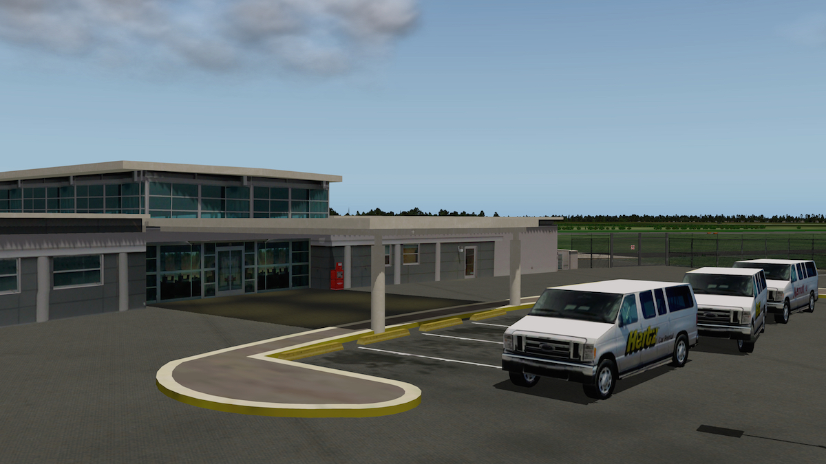
  12. Aerosoft is pleased to offer you, on behalf of Freddy De Pues from Fred-E.Net, Lihue Airport (IATA: LIH, ICAO: PHLI, FAA LID: LIH) is a state-owned public-use airport located in the Līhuʻe CDP on the southeast coast of the island of Kauaʻi in Kauai County, Hawaiʻi, United States, two nautical miles east of the center of the CDP.

    The airport does not serve as a hub for any airline carrier. Numerous inter-island flights are available daily. American Airlines, Delta Air Lines, United Airlines and US Airways all utilize Boeing 757-200’s between Lihue and their mainland destinations. Alaska Airlines and WestJet utilize Next Generation Boeing 737-800s between Lihue and their mainland destinations; while Hawaiian Airlines uses Boeing 717-200’s for its inter-island routes to Honolulu and Kahului. Along with its regional jets service, Hawaiian Airlines also serves Lihue Airport with a Boeing 767-300's for seasonal services to Oakland and Los Angeles.

    The airport is mostly un-walled, and the check-in is completely outside.

    The airport is the primary gateway to Kauai for visitors (especially tourists), and has several rental car facilities. Four motion pictures have filmed scenes at the Lihue Airport: Honeymoon in Vegas, Six Days Seven Nights, Soul Surfer, and The Descendants.


    Want to know more about it?
    Check out our comprehensive review.

    • 337 Downloads
  13. Aerosoft is pleased to offer you, on behalf of Freddy De Pues from Fred-E.Net, Hana Airport (IATA: HNM, ICAO: PHHN, FAA LID: HNM) is a regional public use airport of the State of Hawaii on the east shore of the island of Maui, three nautical miles (6 km) northwest of the unincorporated town of Hana. It is primarily a commuter facility used by unscheduled air taxis and general aviation. As air traffic increases, the Hawaii State Legislature will consider future improvements including the construction of a taxiway paralleling the runway, widening of access roads and expansion of passenger terminals and parking facilities.

    Hana Airport sign as seen in December 2011.

    Scheduled commercial airline service provided Pacific Wings was subsidized by the Essential Air Service program until April 1, 2007, when Pacific Wings began providing subsidy-free service; however, with fares as high as $200 each way, most travelers opted to drive rather than fly. According to U.S. Department of Transportation data, Pacific Wings transported only 375 passengers in the first 10 months of 2012, while Mokulele Airlines claims to have transported 1706 passengers since October 2012, according to their EAS bid for Kamuela service on May 23, 2013.

    As per Federal Aviation Administration records, the airport had 1,462 passenger boardings (enplanements) in calendar year 2008, 682 enplanements in 2009, and 132 in 2010. It is included in the National Plan of Integrated Airport Systems for 2011–2015, which categorized it as a general aviation airport.

    Want to know more about it? Check out our comprehensive review.
    • 269 Downloads
  14. On behalf of Marc Leydecker aka Belga12345, Aerosoft is pleased to offer you KFYJ Interactive Animated HD Photo-realistic airport.

    To create the picturesque KFYJ (a.k.a. West Point) It took me over 1400 hours to build this photo-realistic HD airport ... so please VOTE.

    Where is KFYJ located?
    KFYJ is located in-between Washington DC and Norfolk Virginia
    Alfa Farms = 16 miles
    KRIC = 30 miles
    KPHF = 31 miles
    Langley AFB = 37 miles
    KORF = 53 miles
    KIAD = 92 miles
    KDCA = 105 miles

    All objects, including vehicles, static aircraft, buildings, vegetation, animations, etc. were made in Sketchup and based on pictures I took


    Highlights:
    - Interactive animated “static” GA's (hint: position yourself in front of the Orange C170 and open your doors/canopy or move your controls)
    - Interactive animated schoolbus (hint: put your handbrake on and the bus will “unload” students
    - Animated skydivers based on real data and parameters
    - Animated work zone (working bulldozers, dump-t rucks, rollers, bobcats, etc)
    - Animated equipment: generators, forklifts
    - Animated airport vehicles
    - Animated people
    - Animated Goodyear “blimp”
    - Animated Medivac Helicopter
    - Animated river barges
    - Animated tugboats
    - Animated papermill factory
    - HD Photo-realistic Every building was accurately crafted using photo-textures
    - HD Photo-realistic Cars, buses and t rucks in perfect scale with photo-textures
    - HD Photo-realistic Airport equipment based on pictures
    - HD custom made building lighting
    - HD custom made lightposts, telephone and power poles
    - Custom grasses, weeds, t rees, flowerbeds, bushes and forests
    - Custom pavement textures based on photographs
    - Super detailed nearby horse farm (Alfa Farms)

    Please EXPLORE, there is a scene and surprise around every corner.


    Important notes:
    Special thanks to the KFYJ staff for let ting me take thousands of pictures.
    Special thanks to "Alcala" for let ting me modify his gorgeous C170!
    The few objects which I borrowed with permission from other developers: (file names are marked as such)
    - My moving flags are based on the great work of Mr 3D
    - Man walking and Manwalking2 are 2 free samples of LP3D
    - LP3D_Audi free sample of LP3D
    - Belga_AXYZ_ManStepLadder is a heavily modified free sample of AXYZ
    - Mandun's MIL was used as a base to create my own version
    - The ortho photos are modified and tweaked downloads from USGC (the USGC orthos were taken in the winter and were overlayed with areal photos taken by myself)


    EULA (End User License Agreement)
    This “freeware” scenery package in whole or in part is for Personal Non-Commercial Use ONLY.
    The Software may not be used for direct or indirect commercial (includes non-profit, or revenuegenerating business) purposes without first obtaining writ ten permission of AUTHOR.
    You may NOT upload Belga’s KPVG, whether or not modified, in whole or in part, to any file distribution system, reverse engineer, disassemble or de-compile any part of Belga12345’s KPVG for any purpose other than to implement improvements for your own personal use.

    Your use of Belga12345’s KPVG is entirely at your own risk. The author does not accept any liability whatsoever for any damage arising from its use no mat ter how caused. By downloading and installing this software, you are deemed to have agreed to the foregoing


    Instructions:
    Unzip in your /custom scenery folder. This airport requires the latest version of OpensceneryX. Make sure you have “runway follows terrain contours” disabled (needs restart!). MAC users might have to tweak Gamma set ting if scenery looks washed-out


    Documentation:
    Charts and airport info is located in the _Documentation folder

    ENJOY
    Belga12345
    • 564 Downloads
  15. On behalf of Marc Leyendecker, we're pleased to offer KPVG animated HD Photo-realistic airport from Marc Leydecker aka Belga12345.

    Aerosoft screenshots can be found via this link, but more important, here's a comprehensive review of KPVG.


    According to Marc; It took me over 1200 hours to build this photo-realistic HD airport so please VOTE!

    All objects, including vehicles, static aircraft, buildings, vegetation, animations, etc. were made in Sketchup and based on pictures provided by Tom Barefoot (a KPVG instructor).

    Airport and area highlights:
    - Animated work zone (working bulldozers, dump-trucks, rollers, bobcats, etc)
    - Animated “wavy10” News chopper (takes off, circles over a bad car accident on Military Highway and lands back at KPVG)
    - Animated flying and or rotating helicopters
    - Animated equipment: generators, forklifts
    - Animated airport vehicles
    - Animated people
    - Animated hangar doors (some doors open when you park in front and will close 2 minutes later)
    - Animated Goodyear “blimp”
    - Animated airport sign
    - HD Photo-realistic Every building was accurately crafted using photo-textures
    - HD Photo-realistic Cars, buses and trucks in perfect scale with photo-textures
    - HD Photo-realistic Airport equipment based on pictures
    - HD custom made building lighting
    - HD custom made lightposts, telephone and power poles
    - Custom grasses, weeds, trees, flowerbeds, bushes and forests
    - Custom pavement textures based on photographs

    Please EXPLORE, there is a scene around every corner. Grab a sandwich or a beer at the Airport Bar. No rubbernecking at the accident. By the way, the Budweiser is on sale at the SUPER DETAILED gas station across the airport.

    Important notes:
    Special thanks to "Beber" for letting me use his objects downloadable as single files from XPFR. All objects in the folder “NOT_MINE” are the few objects which I borrowed with permission from other developers:
    - My moving flags are based on the great work of Mr 3D
    - The ambulance is part of an incredible package of Michael Hoge, thePrivateer
    - Man walking and Manwalking2 are 2 free samples of LP3D
    - The ortho photos are modified and tweaked downloads from USGC (the USGC orthos were taken in the winter and were overlayed with areal photos taken by Tom or myself).

    EULA (End User License Agreement)
    This “freeware” scenery package in whole or in part is for Personal Non-Commercial Use ONLY. The Software may not be used for direct or indirect commercial (includes non-profit, or revenue-generating business) purposes without first obtaining written permission of AUTHOR. You may NOT upload Belga’s KPVG, whether or not modified, in whole or in part, to any file distribution system, reverse engineer, disassemble or de-compile any part of Belga12345’s KPVG for any purpose other than to implement improvements for your own personal use.
    Your use of Belga12345’s KPVG is entirely at your own risk. The author does not accept any liability whatsoever for any damage arising from its use no matter how caused. By downloading and installing this software, you are deemed to have agreed to the foregoing

    Instructions:
    Unzip in your /custom scenery folder. This airport requires the latest version of OpensceneryX. Make sure you have “runway follows terrain contours” disabled.

    And above all ..... ENJOY
    Belga12345
    • 226 Downloads
  16. On behalf of Marc Leydecker, Aerosoft Sim News is pleased to offer you Ft. Eustis “Felker” KFAF US ARMY Airfield, Virginia, USA.


    Super-detailed airfield dedicated to all the service men and woman !!!
    KFAF is located in Virginia bordering the James River, in close proximity of the picturesque Chesapeake Bay. The James River also host the Ghost Fleet. (YES, I also rendered the fleet in 3D). The airport is under renovation and the scaffolding, construction equipment has been modeled.

    This is NOT a “Lego” block approach. Every building was carefully reproduced in 3D, I even did not forget the smokers gazebos, containers and trash-bins.

    Some of the features are:
    - Custom flowering grass
    - Custom “weeds”, flowering trees, grasses and forests
    - Custom taxiway and runway markings
    - Custom airport equipment (forklifts, fire extinguishers, fire trucks, etc.)
    - Custom AC units and generators
    - Custom vehicles
    - Custom US Army personnel (with reflective safety vests)
    - Working “flashing construction signs”

    This was a time consuming project, so PLEASE VOTE!

    - Ortho Photos: Royalty Free from USGS
    - ALL equipment, buildings, vehicles, grasses, forests, etc. have been modeled by myself EXCEPT:
    - Military Vehicles and the Chinooks: by David Austin, Michael Hoge and the Privateer
    - These excellent objects are located in a folder, named “/NotMine”


    Notes:
    UNZIP the airport under xxx\Custom Scenery folder
    The airport requires the latest version of OpenSceneryX


    Documentation:
    There is a folder named DOCUMENTATION
    This folders contains KFAF info and charts

    ENJOY!
    Marc aka Belga12345
    • 175 Downloads
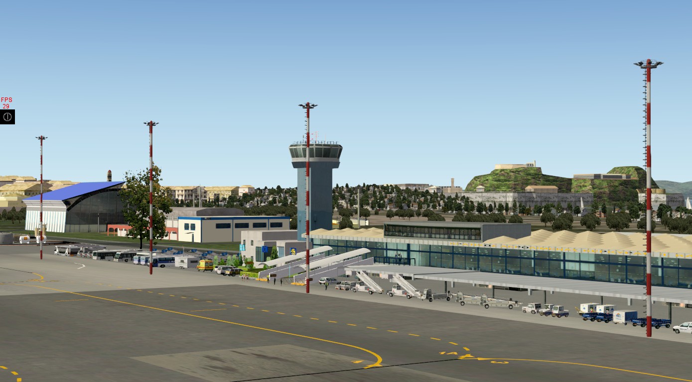
  17. X-Plane 10.30 Scenery--G.A.P. Corfu Airport (LGKR), Greece. The scenery is made using latest tools and techniques available, based on more than 2000 high resolution photos taken at the airport and terminal area. Together with the design plans of the airport make this scenery a quality replica of the real thing. GAP Corfu contains also detailed modeling of the wider area of the island featuring the old city and its two castles and the harbor. Using advance modeling and sequencing techniques, the scenery is extremely frame rate friendly. By Vasilis - Maximos Sevastopoulos / Greek Airports Project.

    HOMEPAGE : http://gapscenery.wix.com/gap-greece
    SUPPORT : gapscenery@gmail.com
    FORUM/FAQ: https://www.facebook.com/greekairportsproject?ref=hl&ref_type=bookmark
    • 934 Downloads
  18. Barcelona El Prat International Airport(IATA: BCN, ICAO: LEBL) is located 7.5 miles southwest of the centre of Barcelona, Catalonia, Spain on the beach of Mediterranean Sea. The airport is the second lagest in Spain behind Madrid Barajas Airport.
    Required libraries:
    Open Scenery2.0.0 http://www.opensceneryx.com/
    RuScenery http://ruscenery.x-air.ru/
    For proper operation of animated objects like loaders you must have Marginal's plugin 'CustomSBDatarefs004' available at
    http://www.xpluginsdk.org/misc_plugins.htm
    In this scenery, depending of wind direction, ATC could to use all runways, except Rwy20, which use for take-off only.
    Be shure that 'runways follow terrain contour' is off,otherwise one end of the long terminal will hang in the air.
    For avoid conflicts all duplicate 'LEBL Barcelona' packages should be remove from the 'Custom Scenery' folder.
    Many thanks to Cami De Bellis for her pretty objects.
    • 568 Downloads
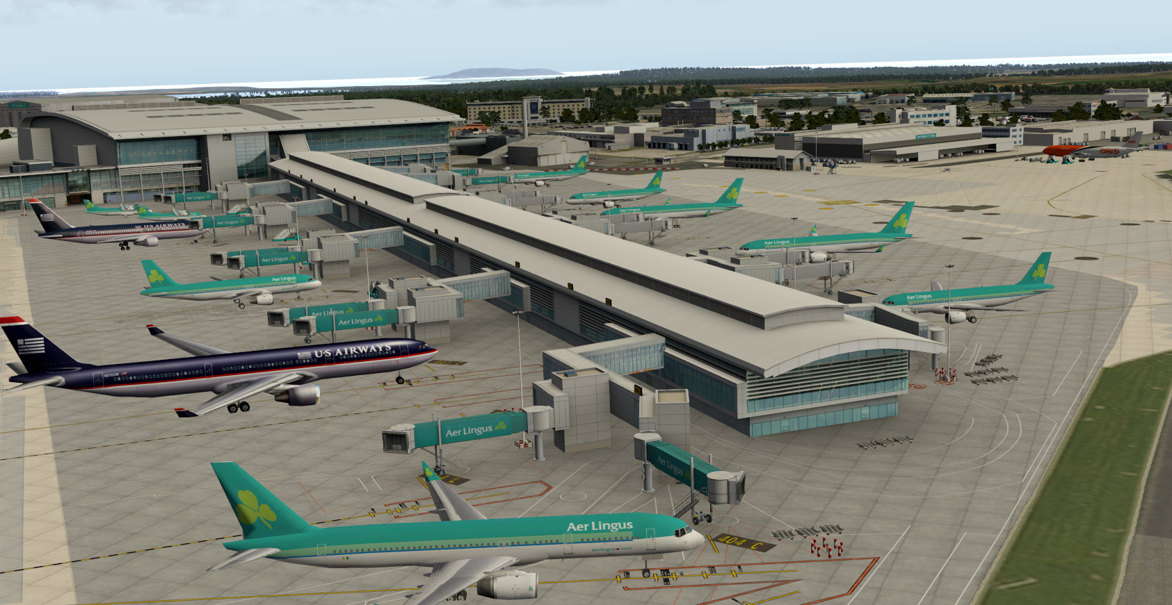
  19. This file adds static airplanes to our Dublin scenery -> http://en.shop.aerosoft.com/eshop.php?action=article_detail&s_supplier_aid=12978&s_design=DEFAULT&shopfilter_category=Flight%20Simulation&s_language=english
    You have to install Dublin and OpenSceneryX first and be sure that “_StaticAirplanes Dublin” is above “Aerosoft - EIDW Airport Dublin” in your scenery_packs.ini

    Diese Scenery bringt Ihnen statische Flugzeuge für unsere Scenery Airport Dublin -> http://www.shop.aerosoft.com/eshop.php?action=article_detail&s_supplier_aid=12978&s_design=DEFAULT&shopfilter_category=Flight%20Simulation&s_language=german
    Stellen Sie sicher, dass Sie zuerst den Flughafen und OpenSceneryX installiert haben und das “_StaticAirplanes Dublin” in der scenery_packs.ini über “Aerosoft - EIDW Airport Dublin” steht
    • 465 Downloads
  20. KPVG animated HD Photo-realistic airport by Marc Leydecker aka Belga12345

    Aerosfoft article here: http://asn-xp.aerosoft.com/?cat=407
    More screenshots here: http://fred-e.net/2014/06/11/kpvg-hampton-roads-executive-airport-chesapeake-virginia-by-marc/
    More screenshots here: https://plus.google.com/photos/116710934456660404547/albums/6020279037608073105


    It took me over 1200 hours to build this photo-realistic HD airport.

    All objects, including vehicles, static aircraft, buildings, vegetation, animations, etc. were made in Sketchup and based on pictures provided by Tom Barefoot (a KPVG instructor)

    Highlights:
    Animated work zone (working bulldozers, dump-trucks, rollers, bobcats, etc)
    Animated “wavy10” News chopper (takes off, circles over a bad car accident on Military Highway and lands back at KPVG)
    Animated flying and or rotating helicopters
    Animated equipment: generators, forklifts
    Animated airport vehicles
    Animated people
    Animated hangar doors (some doors open when you park in front and will close 2 minutes later)
    Animated Goodyear “blimp”
    Animated airport sign
    HD Photo-realistic Every building was accurately crafted using photo-textures
    HD Photo-realistic Cars, buses and trucks in perfect scale with photo-textures
    HD Photo-realistic Airport equipment based on pictures
    HD custom made building lighting
    HD custom made lightposts, telephone and power poles
    Custom grasses, weeds, trees, flowerbeds, bushes and forests
    Custom pavement textures based on photographs

    Please EXPLORE, there is a scene around every corner. Grab a sandwich or a beer at the Airport Bar.
    No rubbernecking at the accident. By the way, the Budweiser is on sale at the SUPERDETAILED gas station across the airport.

    Important notes:
    Special thanks to "Beber" for letting me use his objects downloadable as single files from XPFR
    all objects in the folder “NOT_MINE” are the few objects which I borrowed with permission from other developers:
    My moving flags are based on the great work of Mr 3D
    The ambulance is part of an incredible package of Michael Hoge, thePrivateer
    Manwalking and Manwalking2 are 2 free samples of LP3D
    The ortho photos are modified and tweaked downloads from USGC
    (the USGC orthos were taken in the winter and were overlayed with areal photos taken by Tom or myself)

    EULA
    End User License Agreement
    This “freeware” scenery package in whole or in part is for Personal Non-Commercial Use ONLY
    The Software may not be used for direct or indirect commercial (includes non-profit, or revenue-generating business) purposes without first obtaining written permission of AUTHOR
    You may NOT upload Belga’s KPVG, whether or not modified, in whole or in part, to any file distribution system, reverse engineer, disassemble or de-compile any part of Belga12345’s KPVG for any purpose other than to implement improvements for your own personal use.
    Your use of Belga12345’s KPVG is entirely at your own risk. The author does not accept any liability whatsoever for any damage arising from its use no matter how caused. By downloading and installing this software, you are deemed to have agreed to the foregoing

    Instructions:
    Unzip in your /custom scenery folder
    This airport requires the latest version of OpensceneryX
    Make sure you have “runway follows terrain contours” disabled

    ENJOY
    Belga12345
    • 238 Downloads
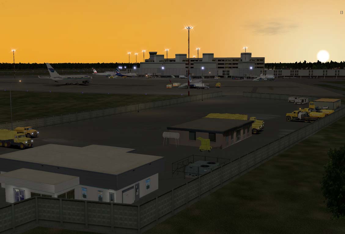
  21. UMMS Minsk Airport Belarus. Enjoy it's free.
    Also this scenery requires OpensceneryX, R2_library, ruScenery & FFlibrary files installed to run.
    Made on a windows 7 PC 64bit Xplane 10.25
    • 314 Downloads

Important Information

We have placed cookies on your device to help make this website better. You can adjust your cookie settings, otherwise we'll assume you're okay to continue. Privacy Policy & Terms of Use

Account

Navigation

Search

Search

Configure browser push notifications

Chrome (Android)
  1. Tap the lock icon next to the address bar.
  2. Tap Permissions → Notifications.
  3. Adjust your preference.
Chrome (Desktop)
  1. Click the padlock icon in the address bar.
  2. Select Site settings.
  3. Find Notifications and adjust your preference.